Saturday, December 5, 2015

My Dad

Dana Paul Eugene Snyder

April 29, 1922 - November 18, 2015

My Dad was a mammalogist by training and profession and a natural farmer and engineer. I inherited his love of the outdoors and gardening and his common sense (I hope). I wish I also got his knack for engineering. My brother Tod got that.

Dad met Mom at the Carnegie Museum in Pittsburg, where they both worked. She worked in the Director's office, he was a fresh graduate from the University of Michigan where he did his dissertation on the field study of small mammals, his favorite of which was the eastern chipmunk.

If you are familiar with natural history museums, you know that they have rooms filled with drawers of animal skins, bones, skulls, and such. My Mom says that one day she went down to the "bone room" and asked my Dad if he wanted to go to a party. He agreed. They were the only couple to show up, so the hosts and the two of them played bridge and stayed up until the wee hours. Later, my Mom's uncle Bob said, "Are you going to marry a mouse doctor?" That she did.

We grew up in a 1760s-era old saltbox, one that my parents bought soon after moving to Amherst, Massachusetts. My Mom was likely not as enthusiastic as my Dad about the purchase; she was caring for my older brother and sister, who were less than 3 years old then, but they've been in the house nearly 60 years. Over the years Dad took pride in restoring the house to its original architecture. As kids we arrived home from school to the chore of scraping mortar off old bricks that Dad had salvaged to rebuild the central chimney and fireplaces. There wasn't much heat in the house and I recall at least one spell when the pipes froze. My sister said that is when Dad stopped shaving for good.
There was land with the saltbox and my parents acquired some more in subsequent years. We were always outside growing up: sledding on the mountain, catching fireflies, wandering in the fields and woods, raising animals, building roads in dirt piles for our toy trucks, camping. One of my Dad's greatest loves was working on his farmland. For many years, even into his nineties, he would ride his tractor, wield a chainsaw, or just walk the land with my mother.

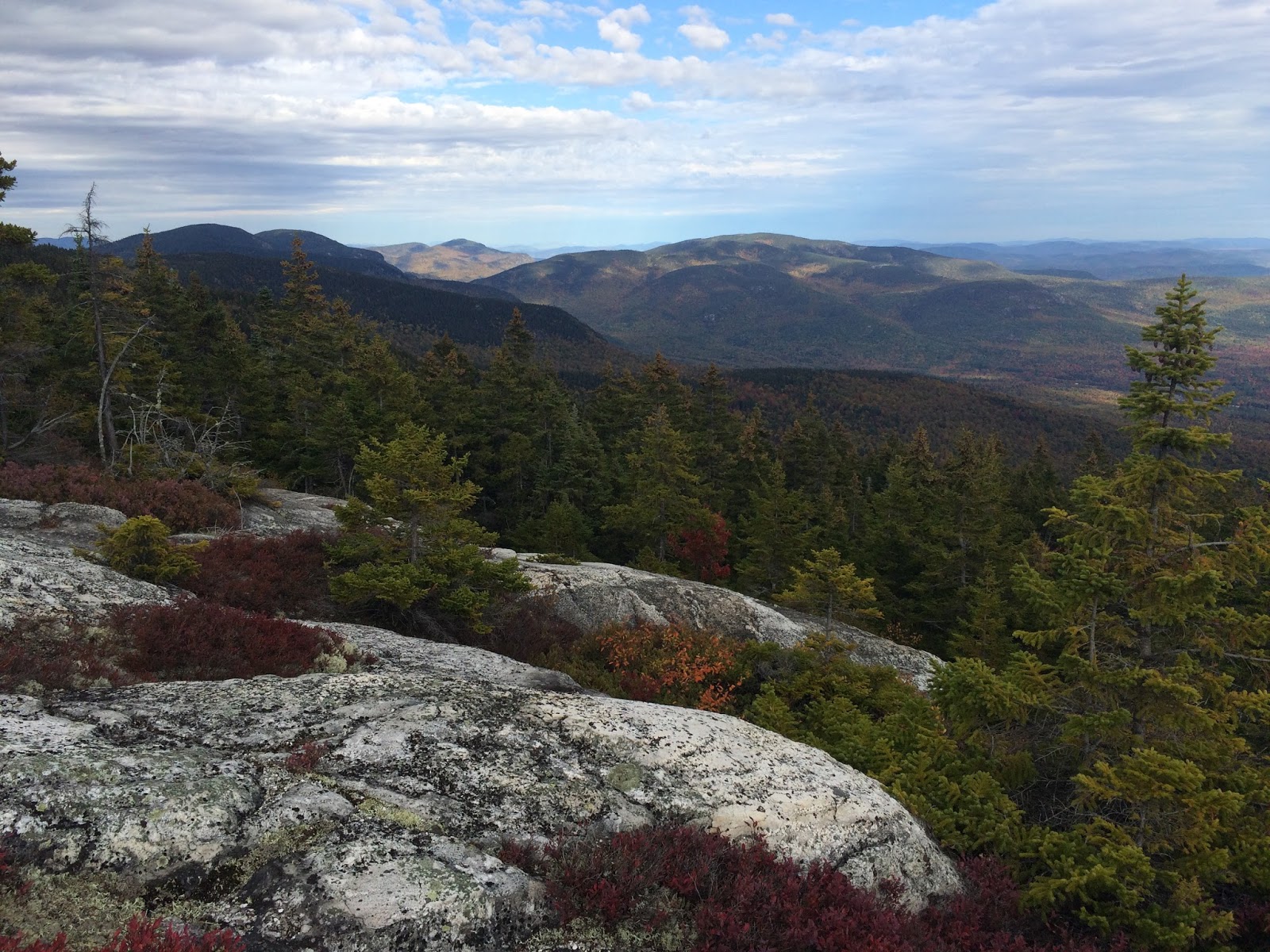
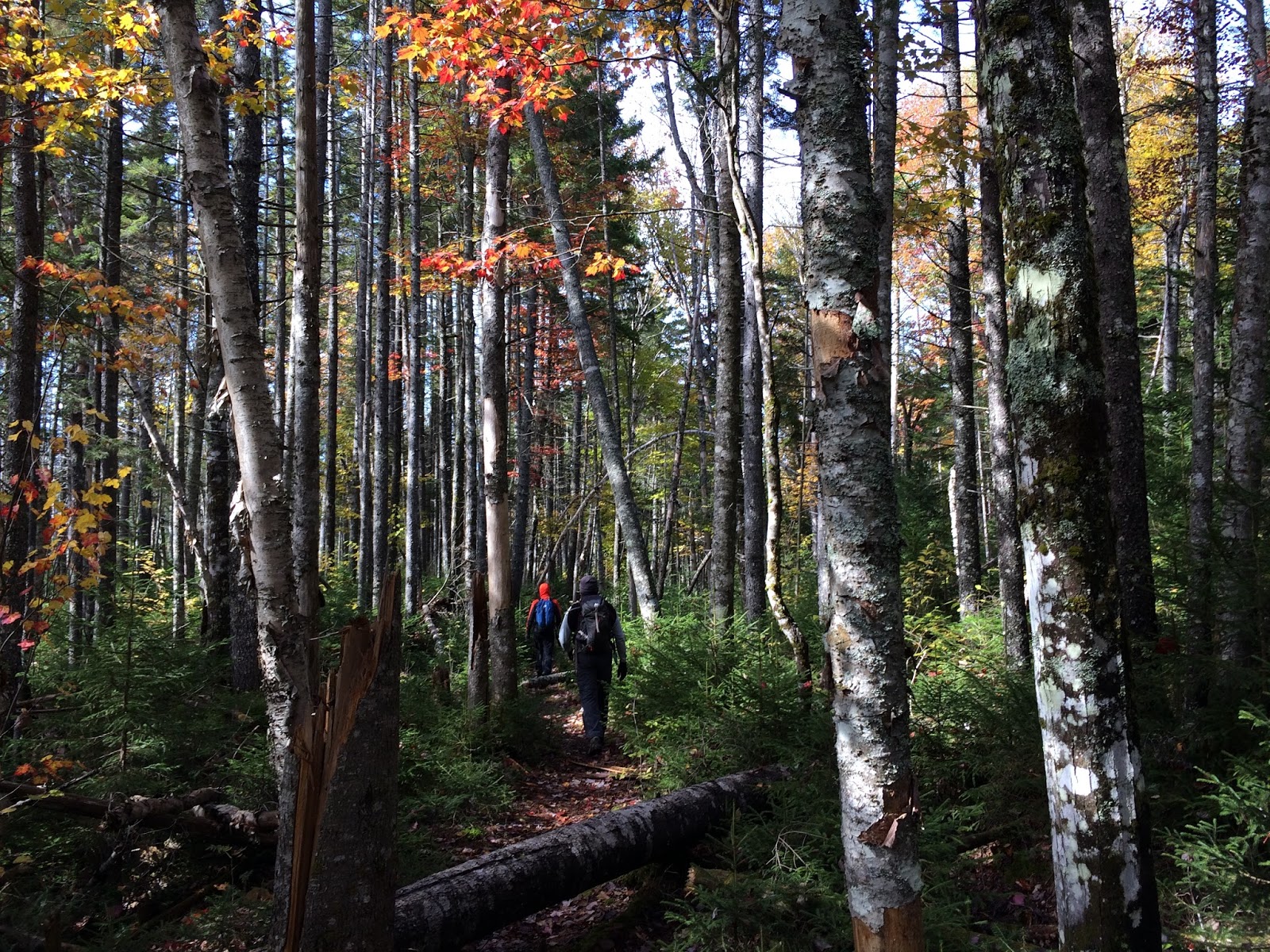
He instilled in me a love of open space and the importance of protecting land and taught me my first bird songs when I was very young as we listened to warblers move through the yard in spring. In the 1970s he co-led the Amherst Growth Study Committee, an effort to restrict overdevelopment in Amherst and to protect the Lawrence Swamp, the aquifer for the town's drinking water. He was sued by a developer, but stuck to it, and helped build awareness for future land conservation. To that end, my parents were among the first to conserve their land through the Massachusetts Agricultural Preservation Program.

Besides his family and his farm, Dad loved bluebirds, homemade clam chowder, contra dancing, driving, watching the Red Sox, wolves, and ice cream with chocolate sauce (especially made by my Mom). Dad slipped peacefully away in his own bed on the farm that he loved, with his family near, and after enjoying a bowl of ice cream and chocolate sauce the night before. He had a good life.

Friday, October 16, 2015

The Baldfaces

Despite its name, the Slippery Brook Trail is not as slippery as the more popular route (via Baldface Circle Trail) to the top of South Baldface. Although the Slippery Brook route is a mile longer, we chose it last Sunday for several reasons: far fewer hikers choose this route (we like the solitude); it is easier on the knees (and our dogs) as the Baldface Circle Trail requires scaling several tricky ledges which are slippery when wet; and it provides access to Baldface Knob--one of my favorite spots on the entire Baldface Ridge.

Slippery Brook Trail--despite no views along the 3-mile length
to the Baldface Knob Trail, it is still very scenic.
And the views from Baldface Knob are some of the best on the Baldface Ridge.

Starting the climb to the summit of South Baldface from the junction of
Baldface Knob and Baldface Circle Trails.

A clear view west to Mount Washington from the summit of South Baldface.

Srini, nephew Sid, and Kodi enjoy views from atop South Baldface.

On the way to North Baldface.

Kodi takes a rest along the Baldface Circle Trail.

Our promo for Clif bars and Bear-Paw Regional Greenways.

Nephew Reid with a stunning backdrop of the Wild River Wilderness.

Kodi takes another rest-he likes the scenic spots.

We descended via the Bicknell Ridge Trail, which offers many more scenic overlooks, but is a little hard on the knees during a descent. We were all a little sore after 14 mile hike day before and this one topping out at 10 miles. 

Although it wasn't a blue sky weekend--mostly cloudy, except over South Baldface--it was a fine weekend in the Whites, whether atop a bald mountain or crossing bog bridges in swampy spruce-fir forest.

Thursday, October 15, 2015

Nancy Pond and Environs

We have the good fortune to spend time, on occasion, at a friends' seasonal house in Jackson, New Hampshire. That is where we stayed Columbus Day weekend. From the porch and front rooms of the Hodge House we looked out across a meadow--maintained for monarchs and mice, swallows and sparrows--and across to the northwest flank of Mount Kearsarge North. Over the course of our four day stay, the leaves of the hardwoods blanketing the hillsides changed to a progressively more brilliant palette of reds, oranges, and yellows.

We could have relaxed at the House House all weekend as the view was so spectacular. But we wanted to get out and hike among the colorful trees, reach more expansive views, and explore the backcountry.

A view from the Hodge House on the day we arrived.
Our hike on Saturday--a 14+ mile loop via the Nancy Pond and Carrigain Notch Trails and Sawyer River Road--was decidedly a backcountry trek. The highlights of the first half of the hike along the Nancy Pond Trail from Route 302 to the Carrigain Notch Trail were: the Nancy Cascades, a moosey and mossy stretch of trail through an old growth spruce-fir forest, Nancy and Norcross Ponds, and views east to Stair Mountain and west into the Pemi Wilderness to the Bonds.

The Nancy Cascades--beautiful and full of falling water--rivaled any waterfalls
that we've seen in the Whites and drought-striken Yosemite.
I read one blog write-up of this hike that said the trail from the Cascades to Nancy Pond was "mostly flat terrain and isn't very remarkable." I disagree. The one mile stretch of trail from the falls to the pond climbs then levels out and meanders through a swampy, mossy old spruce-fir forest, with many piles of moose droppings--my favorite kind of place. On Saturday there was also a lingering frost or snow on the vegetation. My favorite images from this area in the heart of the Nancy Pond Research Natural Area:


A view east to Stair Mountain.
By late morning on Saturday snow still lingered on this bracket fungus.
A still life of moose droppings, Sphagnum moss, bog bridge, and fallen fall leaves.
And more images from the Nancy Pond Trail meandering through an old spruce-fir forest.
The trail between Nancy and Norcross Ponds continues through a mossy spruce-fir forest
and on this day the scarlet red Sphagnum moss was stunning.
How can this landscape be described as "unremarkable?" Steve Smith at Mountain Wondering summarized it well: "For a fairly rugged 8.6 mile round trip, with 2200-ft elevation gain, you can take in towering waterfalls, old growth spruce forest, a pair of high country ponds, and a unique view into a remote corner of the Pemigewasset Wilderness."

The north end of Norcross Pond does provide a fabulous view into the Pemi Wilderness and to the Bonds in the distance.
We paused there only briefly as it was rather cold with an overcast sky, temp hovering around 40, and a stiff wind. It was even colder than we expected. We snapped a few pics then headed down into the Pemi wilderness.

The 7+ miles back on the Carrigain Notch Trail are not rigorous, but it is a long haul back out of the wilderness. But we were in beautiful country, walking through colorful hardwoods and thick spruce and fir regeneration.
This hike was not about the long views. Instead, we wandered through a beautiful forest, with plenty of sign of moose, bear, and grouse, and only a handful of other people throughout the 8 hour hike. The last bit requires walking on Sawyer River Road, but Srini was able to get a lift back to our car on Route 302 from some other hikers (did not get their names, but appreciated the ride!).

Tomorrow I will highlight our Sunday 10-mile hike to South and North Baldface. 

Friday, August 14, 2015

Molas, Humpbacks, and Sharks!

Under an incredibly beautiful sky, with perfect temperatures and a light breeze, my nephew Sid and I went on a Granite State Whale Watch yesterday morning from Rye Harbor.
Our destination was Jeffrey's Ledge, about 20 miles offshore, beyond the Isles of Shoals. Not long after passing the islands our captain slowed and gently maneuvered the boat to bring us close to a basking mola or ocean sunfish. What a curious fish.
They appear to have only half a body. Females lay more eggs than any other vertebrate in the world -- an average sized mola may have as many as 300 million eggs. Each egg is tiny, but after hatching it grows into the heaviest bony fish in the ocean. The name ocean sunfish comes from its habit of basking on its side at the surface, in part, to allow birds to pick off the very large number of parasites on their body. They keep their mouth open at all times, chasing their favorite food: sea jellies (jellyfish). To our delight we saw four of these wonderfully odd fish yesterday, each about the size of a large dining table.
We never made it to Jeffrey's Ledge as the wildlife watching was better just 14 miles offshore in an area where recreational bluefin tuna anglers were congregated. We spent several hours among the fishing boats watching three different humpback whales surface for air and then dive to feed. All three whales were identified as Highlighter, #0050, and Quill by their dorsal fin and tale patterns by our knowledgeable onboard naturalist Melanie White from the Blue Ocean Society.
After a while we motored north and farther out to search for other whales and sea life. One minke whale surfaced and in our travels we saw four sleek blue sharks up close. The relatively calm ocean with swells of less than two feet enabled us to easily pick out the small dark fins of sharks, sunfish, and whales. We had not expected to see sharks, so an added bonus to a wildlife-rich day.

We watched hundreds of Wilson's storm petrels--a small dark brown seabird with a white rump--skip across the water picking off small invertebrates just below the surface. These petrels are summering here then head south to Antarctica where they breed in November-December. A greater shearwater lifted off from the water as we passed, flying gracefully on its long slender wings just above the swells. Cormorants, black-backed, herring and ringed-billed gulls, common terns, common eiders, and a few harbor seals were sighted as we traveled to and from Rye Harbor.

What a lovely day to be on the ocean.


Sunday, August 9, 2015

Mt. Chocorua in August

Mt. Chocorua is a popular hike in the White Mountains, especially on a beautiful Saturday in August. To avoid some of the high traffic, we arrived at the Champney Falls parking area off the Kancamagus Highway by 8:30 am. Surprisingly we were only the third car.
Rainfall has been light of late so we expected little flow in Champney Brook and over the falls. But water flowed continuously over the falls filling the brook below with plenty of clear, cold water for Henna and Kodi to cool off and slake their thirst.
The loop trail leading up and away from the falls back to the main trail has a well-built series of steps--easy in summer and a very different scene in winter.
Although seemingly more treacherous in winter and when icy, summer presents dangers too. As we descended from Mt. Chocorua after lunch, a hiker was running up asking for an EMT and trying to get cell coverage as one of his friends had fallen maybe 30 feet at Champney Falls and was badly hurt. As we continued our descent a rescue crew was hiking in with a stretcher and the parking lot, now overflowing with cars, was also an incident command center. We hope the young man who fell is okay.

We encountered only a dozen or so other hikers on the way to the summit of Mt. Chocorua. A series of switchbacks provides a lovely view north to the High Presidentials; only the tip of Mt. Washington was in the clouds.
It was a spectacular day to be up in the mountains on a high peak: temperature in the mid 70s, no bugs, mostly blue sky with beautiful cloud formations, no haze.
We reached the summit by 11:00 am and by then many more people were arriving. After a snack on top we headed down and over to Middle Sister for lunch, where we enjoyed a quiet and lovely view all to ourselves. Here is a look back at Mt. Chocorua on our way to Middle Sister.
Kodi enjoyed the hike and the scenery.
There was a hint of fall in the air. The weather felt a bit like early September and the hobblebush were starting to turn color.

First Walks of 2024

We rise early, well before sunrise. It helps to go to bed early. Fortunately the New Year's Eve celebratory fireworks in the neighborhoo...